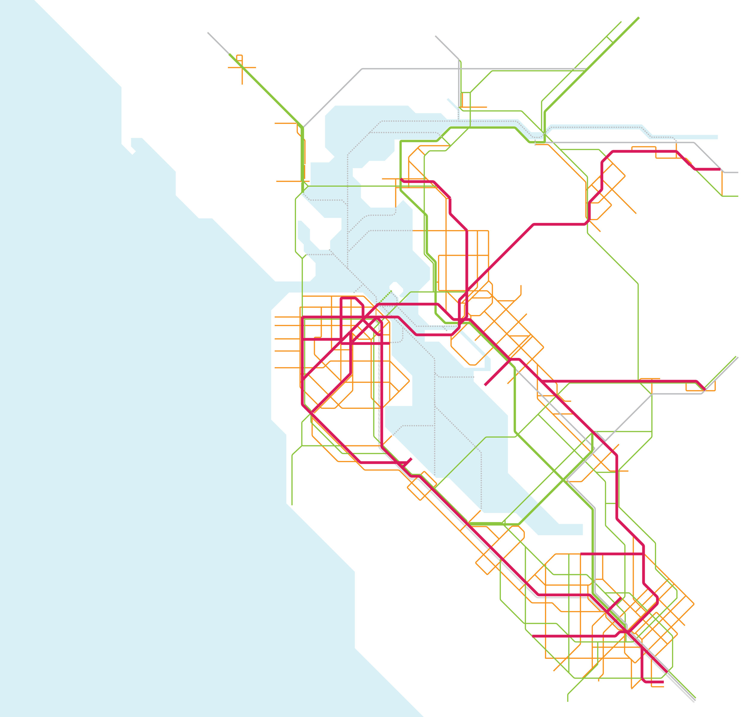
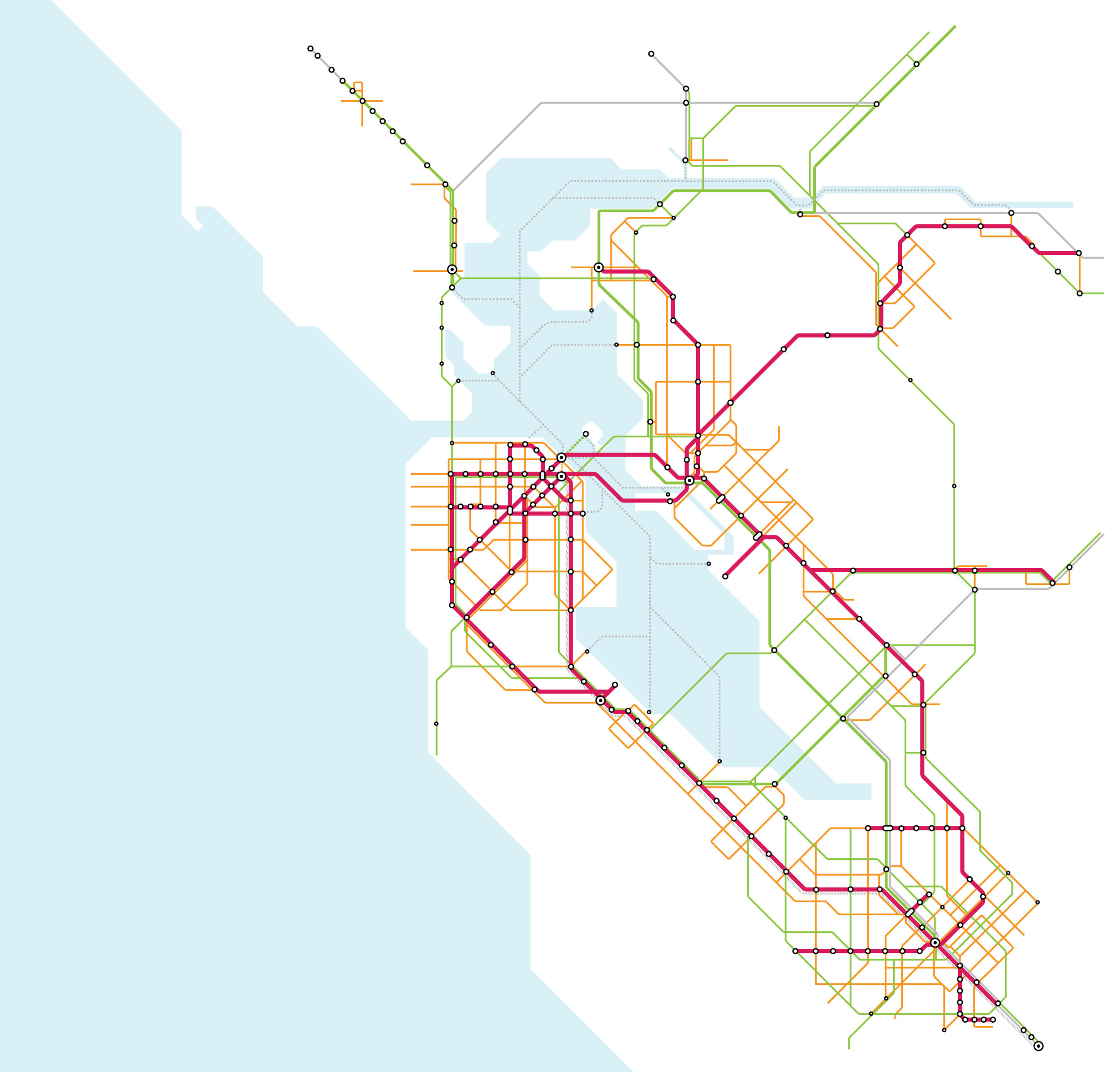
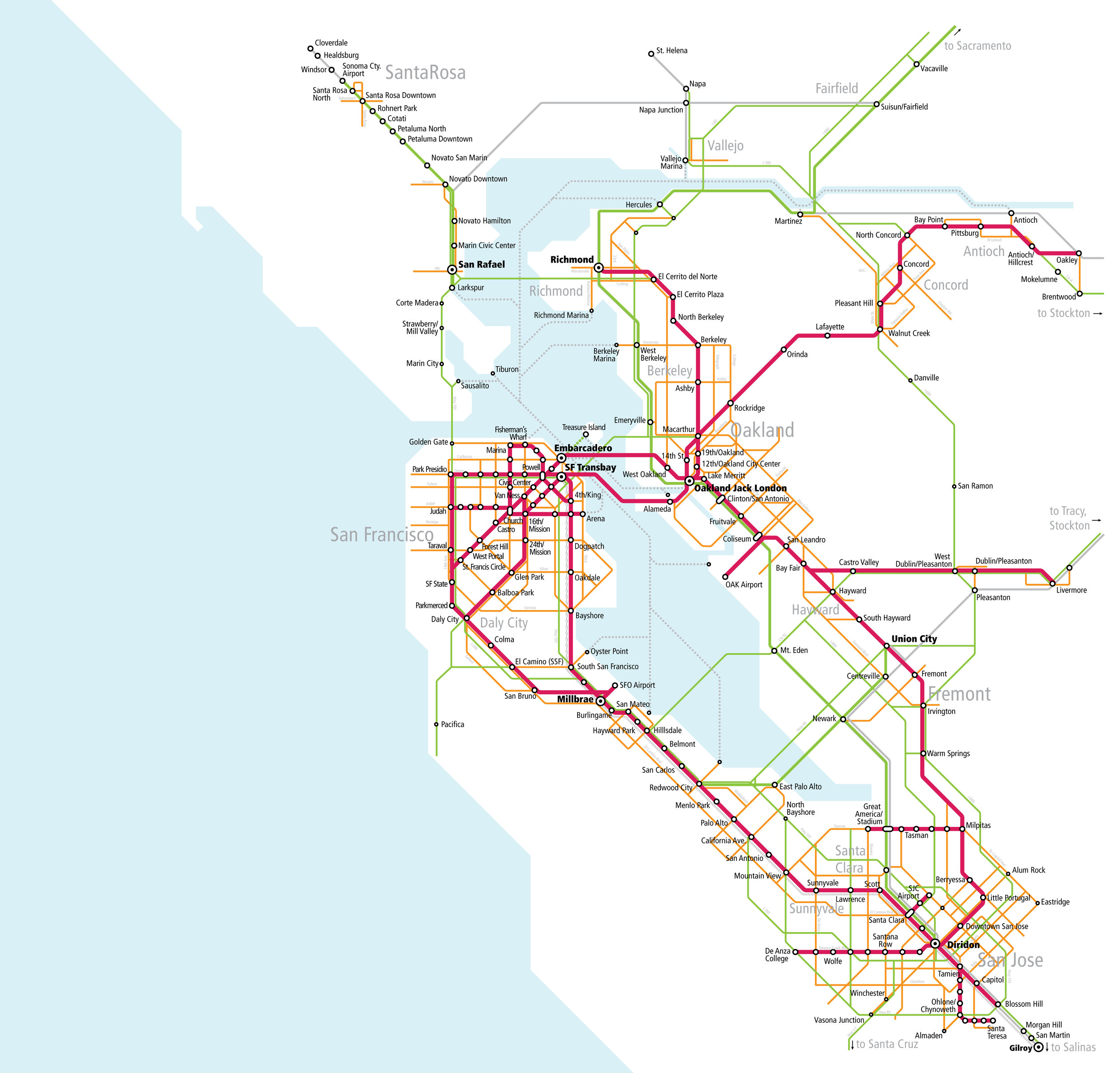
To answer these questions, Seamless Bay Area developed a map of an improved, regionally integrated transit network - called the Seamless Bay Area Vision Map.
This map represents what transportation could be like in the future if the Bay Area planned and operated transit as a unified network. It builds on numerous existing transportation plans and input from stakeholders from across the region, but is also highly aspirational.
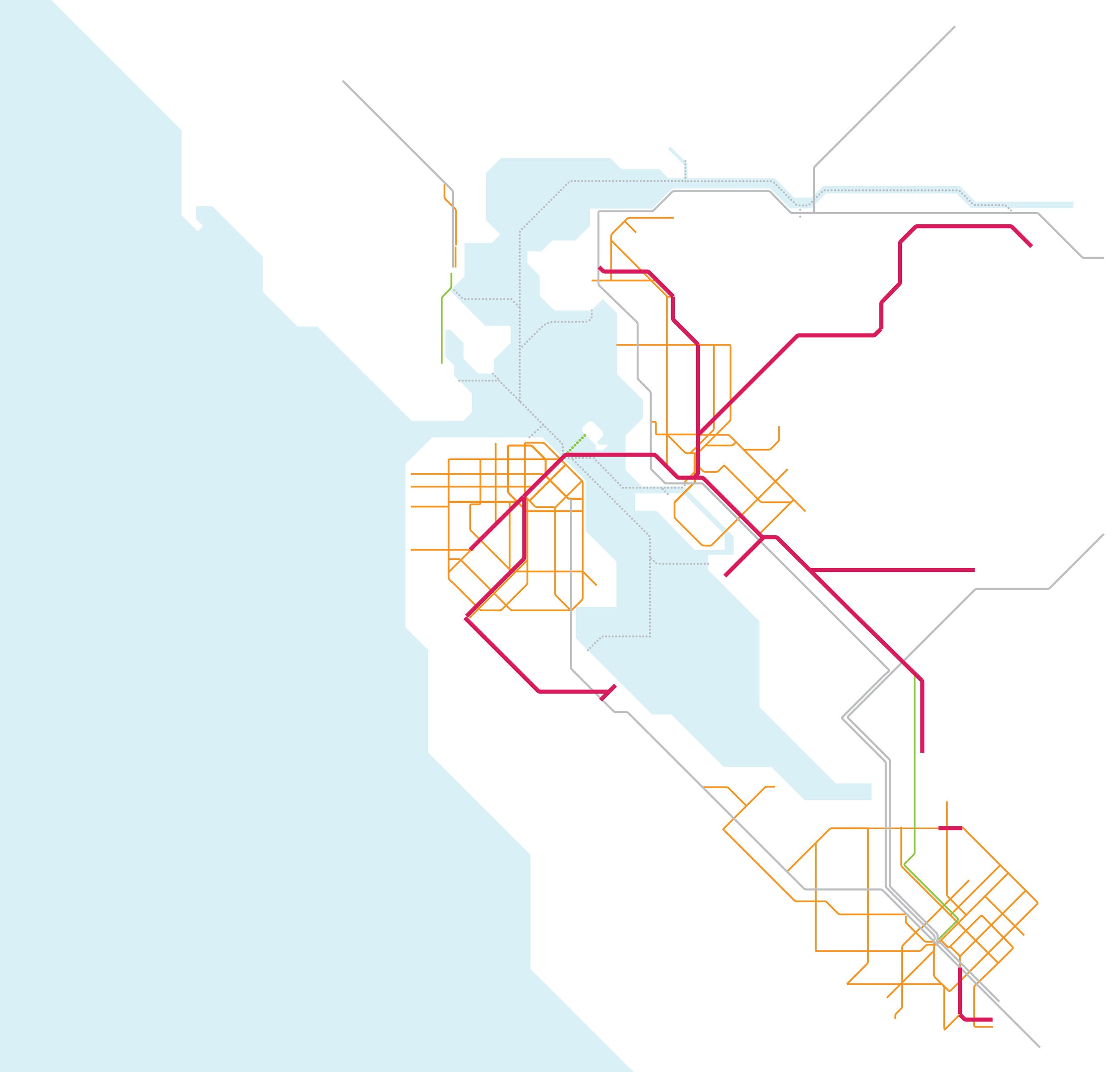
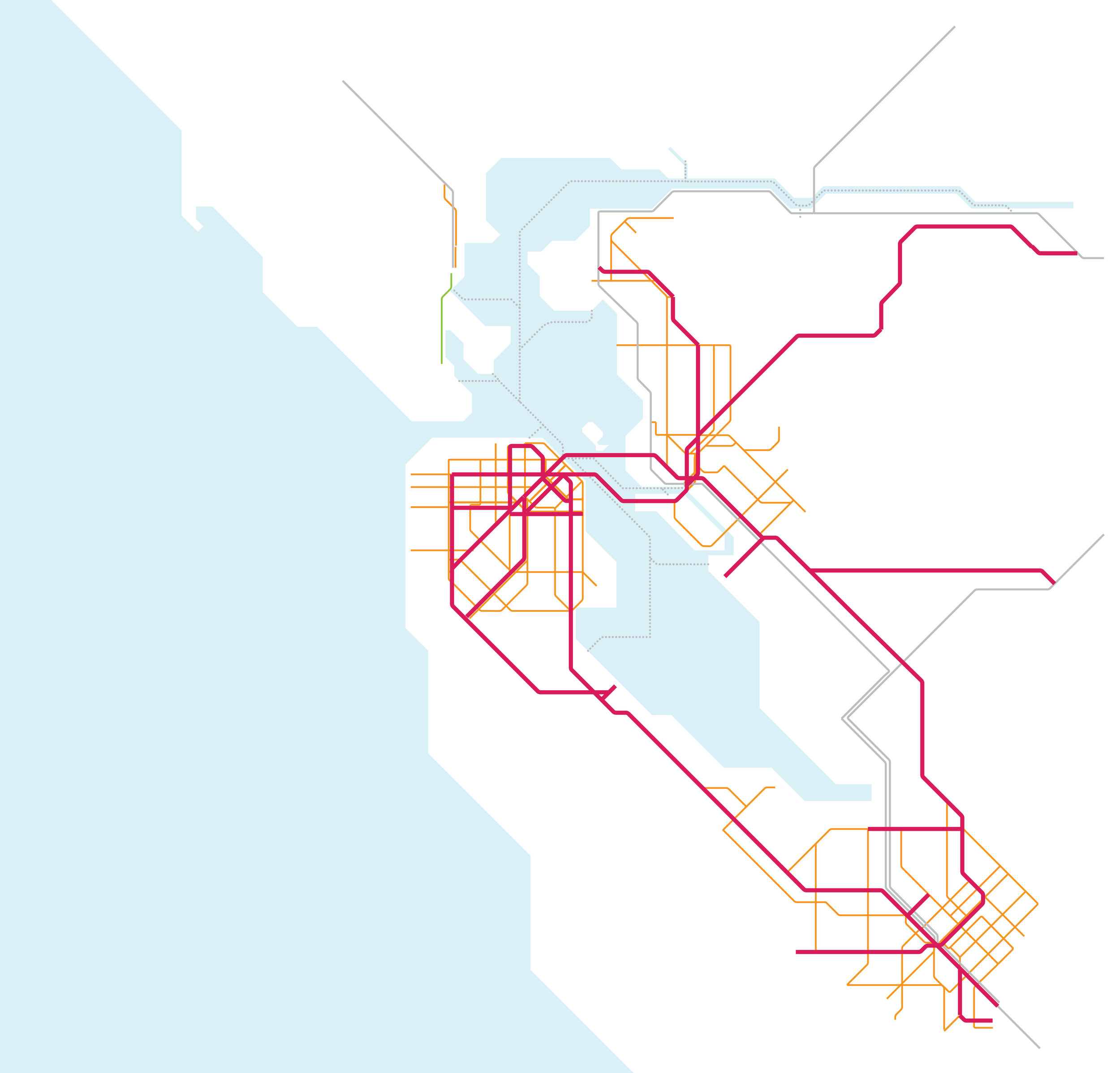
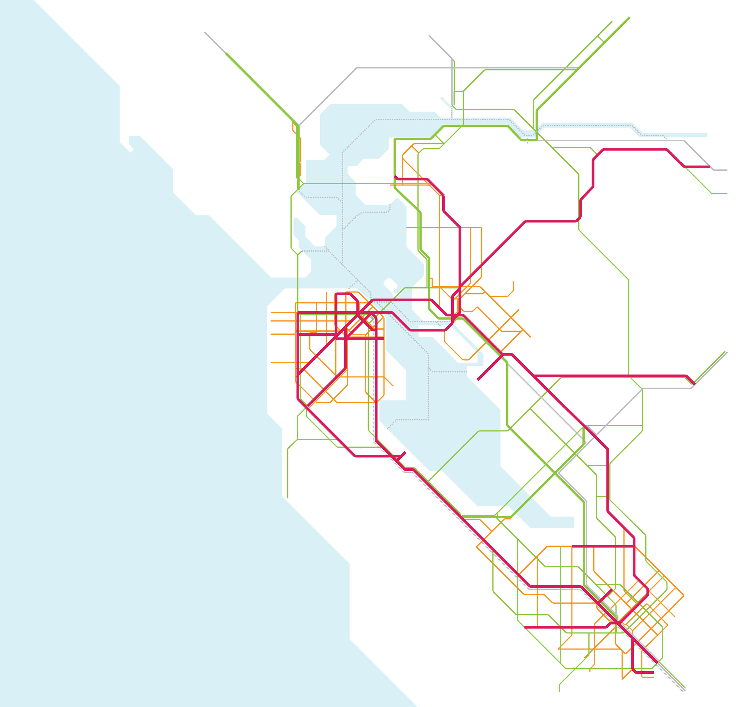
The Seamless Bay Area Vision Map
Click the arrows below to view the components of the vision map:
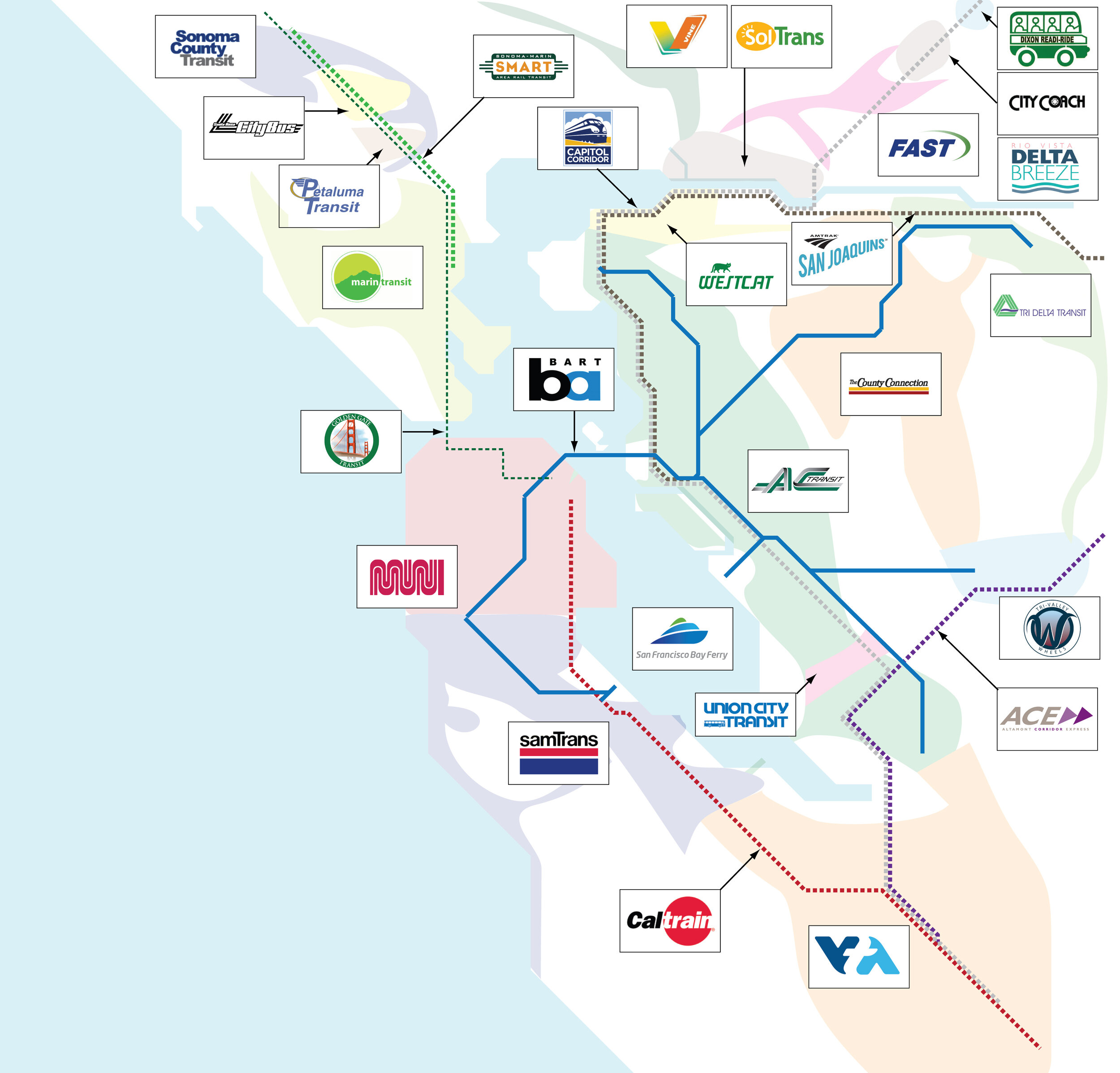
Network Planning Principles
Create an interconnected frequent transit network, facilitating seamless transfers between buses, rail, and ferries
Maximize connections between major transit corridors, especially rail
Utilize existing infrastructure where possible
Provide transit service for a range of new growth centers throughout the region
Support coordination of transit service with land use
Give people options and create flexibility in the network
Ensure local and regional networks work together in harmony; for certain corridors, allow a combination of regional and local service

For more information on how this map was created, click here.
Benefits of a seamlessly integrated, expanded transit system
In a partnership with Interline, and funded by a grant from Microsoft, the Seamless Bay Area Vision Map was modeled to understand how it would make it faster and easier to get around the Bay Area on transit.
The model suggests that, if the vision were implemented:
People throughout the Bay Area, including in many in low income communities, would gain access to many more job opportunities.
The following table and maps show how, from many lower income communities (MTC-designated “Communities of Concern”), a seamless transit network would increase the number of job opportunities accessible by transit by 2.5 to 7 times, putting hundreds of thousands of new jobs within reach.


The maps above show the number of jobs accessible from Richmond (Iron Triangle) and East San Jose, using Accessibility Analysis tool created by Interline. The brown polygon highlights the area accessible within 60 minutes by transit currently; the blue polygon highlights thea area accessible within 60 minutes by transit using the Seamless Vision Map network.
More Bay Area residents and affordable housing options would be within a reasonable transit commute from the region’s major job centers
Currently, many of the Bay Area’s largest job centers are not accessible with a reasonable transit commute time due to lack of service and connectivity; as a result, 75% of Bay Area residents drive to work, and only 12% use transit. The Bay Area’s lower-cost housing is increasingly in the outlying parts of the region. Building a seamless transit network would put millions more people within a 60 minute transit commute of the region’s major job centers, reducing reliance on cars and relieving traffic. Implementing the Seamless Bay Area Vision Map would result in, for example, almost 2.5 times more people in the Bay Area would be able to access job opportunities in Downtown Palo Alto by transit than today.


The maps above show housing accessible from Downtown San Francisco and Downtown Palo Alto, using Accessibility Analysis tool created by Interline. The brown polygon highlights area accessible within 60 minutes by transit currently; the blue polygon highlights area accessible within 60 minutes by transit using the Seamless Vision Map network.
Access to more destinations on public transit will mean greater transit ridership, fewer cars on the road, reduced greenhouse gas emissions from transportation.
Click on the Vision Map Model and Jobs and Housing Accessibility Analysis links to view how the vision map would transform access.

Vision Map Model

Jobs and Housing Accessibility Analysis